by Xavier Bailleau | Jan 9, 2018 | Model & Remote Sensing
The satellite images user is mainly interested about cloud cover because it is one the major problem to deal with. I wrote a very small and simple program to analyse all the images from Sentinel 2A over France during 2016. It took around 15 hours to check all the...

by Xavier Bailleau | Jan 5, 2018 | Model & Remote Sensing
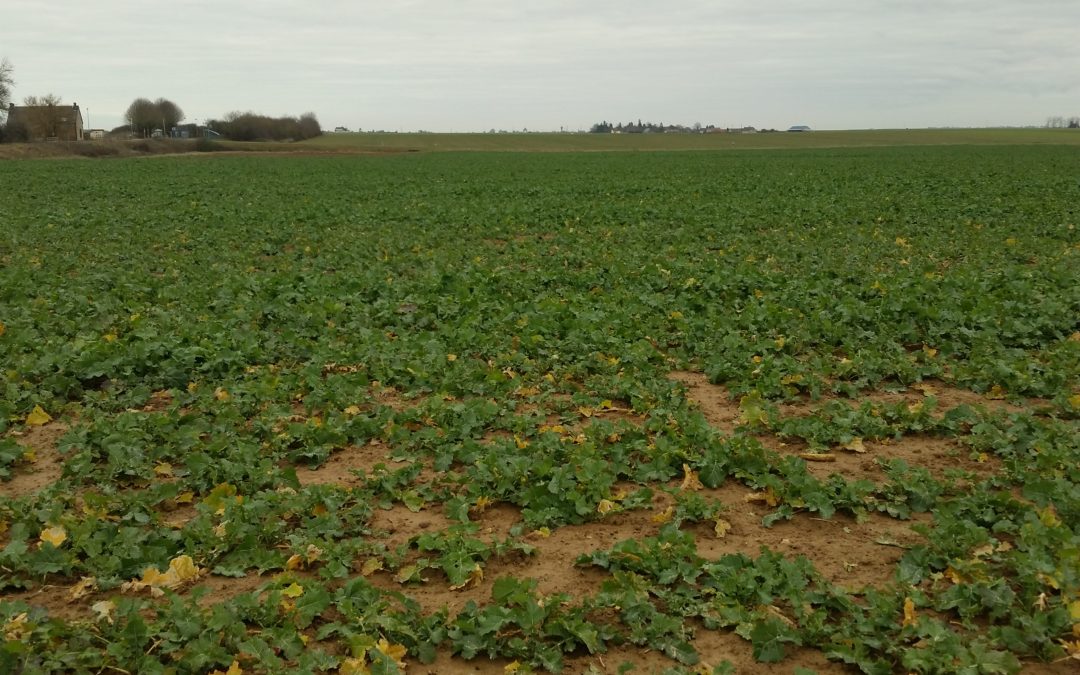
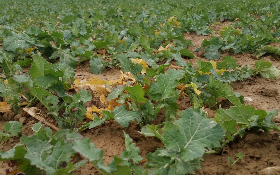
Most of the time, vegetation intra field variability is due to soil heterogeneity, in some cases, it can be due to different agricultural practices or tillage time. This is the case in that rapeseed field, sown on two different dates, as explained in a previous post....

by Xavier Bailleau | Dec 20, 2017 | Model & Remote Sensing
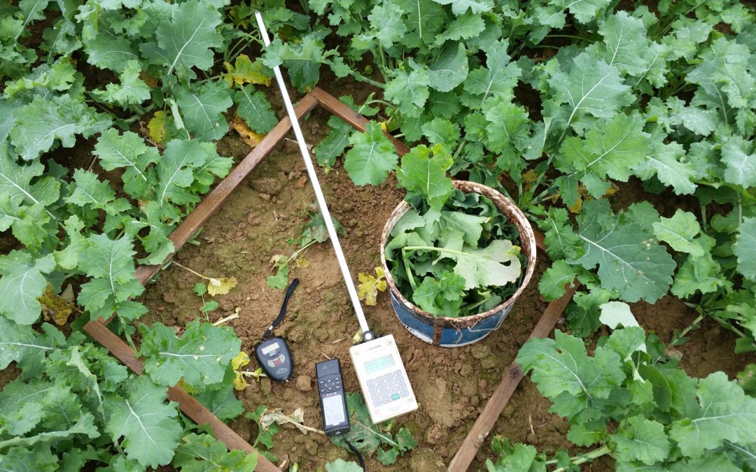
Material: Sentinel 2A image: 2017/12/12 Method: Compare Image IT YARA and manual weighting rapeseed biomass Objective: Demonstrate that both technologies are complementary On 2017/12/12 Sentinel 2A produced a clear image above France. It was the occasion to compare...

by Xavier Bailleau | Dec 18, 2017 | In The Field, Non classé
Material: Sentinel 2 image (ESA) Methods: Artificial Neural Network to convert reflectance to biophysical variables Objectives: Estimate fresh aerial biomass and nitrogen uptake to calibrate nitrogen balance sheet method Satfarming embed artificial neural...

by Xavier Bailleau | Dec 9, 2017 | In The Field
SATFARMING PRODUCT: SPATIAL FIELD CROP ANALYSIS MATERIAL: Satellite images Sentinel 2 (ESA), vegetation index: NDVI METHODOLOGY: Statistical analysis: Average, standard deviation, frequential analysis, raster clustering OBJECTIVE: Highlight areas of interest in a...


